Delaware Statewide Vegetation Community
and
Land Cover Mapping Project
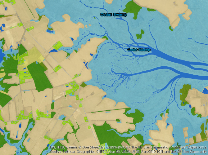
The Delaware Statewide Vegetation Community Mapping Project seeks to map all of the vegetation communities and land covers present in the state of Delaware. Delineations are drawn to the finest extent possible (no defined minimum mapping unit) using aerial imagery analysis, field observations, and data obtained from others. Approximately 10-20% of the state has been field checked. The project began with a map of the Brandywine Creek and was extended to include the entire state of Delaware. Field data is obtained primarily from environmental reviews and surveys of public lands in Delaware. Land covers are obtained form the same methods and impervious surfaces are from 2007 impervious surface layer except for the Brandywine and Red Clay Creek watersheds which were digitized from 2002 aerial imagery. Vegetation communities are determined using the Guide to Delaware Vegetation Communities which is derived and linked to the National Vegetation Classification System (NVCS). The NVCS is a national effort by The Nature Conservancy and Natureserve to standardize the names and classification of vegetation communities in North America. Common names of the vegetation communities in Delaware are the same as those used in the NVCS. Currently, the maps are used for determining the rarity and status of vegetation communities in Delaware, environmental reviews, and management plans on public lands. These maps can be used as a basline for sea level rise studies, climate change, and change over time studies from historical imagery. More information on the mapping and techniques can be obtained from Robert Coxe, Delaware Natural Heritage and Endangered Species Program, Delaware Division of Fish and Wildlife, 4876 Hay Point Landing Road, Smyrna, DE 19977 (Robert.Coxe@state.de.us) or 302- 735-8672. [back to Wildlife Species Conservation and Research Program page] NVCS and Related Documents
[Delaware NVCS document] (~11.5MB) [NVCS Readme file]

