For the past ten years, GeoEducation in Delaware, a subcommittee of the Delaware Geographic Data Committee (DGDC), has worked diligently with K–12 teachers, educators, Delaware Center for Educational Technology (DCET), and the Delaware Geographic Alliance welcoming them to the world of geospatial technologies.
Geospatial technologies consists of geographic information systems, global positioning systems and remote sensing. Comprising of 37 geospatial professionals in the state our mission is to encourage the use of these technologies in Delaware classrooms by empowering teachers, inspiring students and enhancing education while meeting curriculum standards within the State of Delaware.
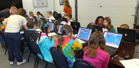
Nicole Minni of the Institute for Public Administration Water Resources Agency at the University of Delaware is chair of GeoEducation in Delaware and chair of Delaware's GIS Day. She is very passionate with teachers and students using these technologies because it provides students a greater understanding of the world around them. Geospatial technologies serve as a visual tool which opens up doors for students to ask questions, find answers, create solutions based on what they have learned, and even apply their findings in and around their community. To learn more visit our web site at www.mygeoworld.org
Related Resources