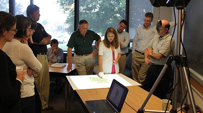
IPA’s GIS personnel have been integrally involved with much of its planning, policy, and water resource–protection project work. Over the years, personnel, equipment, and software has changed, but the mission to provide the highest quality mapping, data, and analysis to an ever-expanding scope has remained consistent. The following are some of our past and current project areas.
Water Resources
- Water Resource Protection Areas for New Castle County
- Kent and Sussex County Water Supply and Demand
- Delaware Source Water Assessment and Protection Program
- Delaware Watersheds
Economic Development
Economic development is an area of increasing concern for IPA as well as the state and the nation. Using spatial analysis, it is possible to model and predict market-analysis areas for business development and establish overall business profiles for a town or region. Staff have worked with the Delaware State Housing Authority on modeling low-income housing areas, with the New Castle County Chamber of Commerce on economic-demand profiles in the county, and with areas like Georgetown and Brandywine Village on the development of trade-analysis zones.
Complete Communities
Comprehensive Planning
Much of IPA’s GIS work during the past decade has focused on mapping efforts in support of municipal comprehensive planning. Annexations, natural-resource areas, zoning issues, etc., have been compiled and mapped for inclusion in plans certified by the state. Additionally, GIS has been used in the analysis in support of drinking water–protection ordinances and protection of wells and groundwater-recharge zones.
- Buildout Ananlysis
- Support for Local Watershed Associations
- Education and Outreach
- Wetlands Mapping
- Watershed Mapping and Modeling
- BMPs/Stormwater
- Watershed Protection – A Delaware Watersheds Story
- Web Mapping Applications
- Data Compilation and Automation
UD’s Sustainable Coastal Communities Initiative
Delaware Equitable Planning for Local Adaptation Needs | DE-PLANs
The development of DE-PLANs was funded by the Delaware Emergency Management Agency (DEMA). This platform, DE-PLANs, compiles social vulnerability data, social services, infrastructure, and hazard information in one place to support state, county, and local planning efforts related to emergency management preparedness and aging in place.
Delmarva GIS Conference
Andrew Homsey and Nicole Minni serve on the Delmarva GIS Conference Committee. The Delmarva GIS Conference is held every other year. To learn more about the conference visit the HUB site.
GIS Day
GIS Day is an International Event, held during Geography Awareness Week in November. To learn more about Delaware GIS Day visit our HUB site.
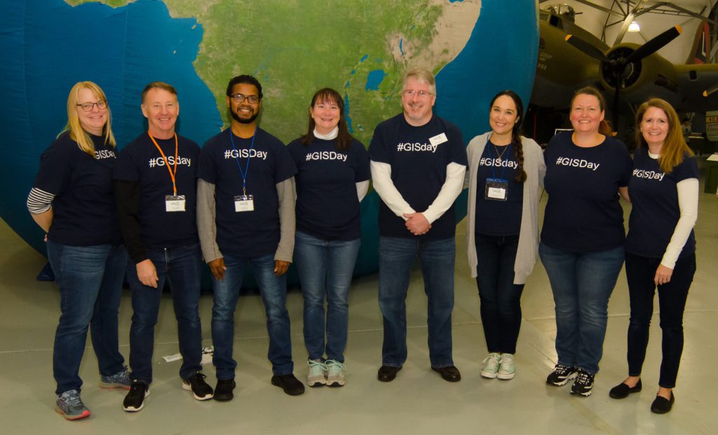
Nicole Minni and the GIS Day Committee, 2018
Who we are
Andrew Homsey – GIS Services Manager – Newark office
Nicole Minni – GIS Analyst and Cartographer – Lewes office